



Quick Take
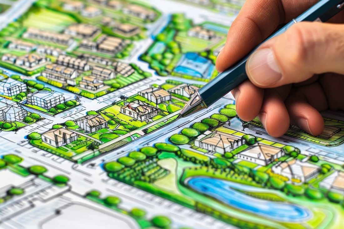
Indore’s new Master Plan is moving closer to the public domain, with the draft reportedly prepared and sent to the Urban Administration Department for further process. The proposed planning area is expected to expand to around 88,000 hectares, compared with the earlier 50,000-hectare area.
One of the most significant aspects is the proposed large green belt around Yashwant Sagar, Khajuria and Pitr Parvat, along with substantial green areas towards Machal and Umrikheda. For a city expanding rapidly on multiple fronts, this is not simply a land-use decision.
It could shape where Indore grows and where it should not.
The Master Plan Could Redraw Indore’s Growth Map
The proposed plan envisages greater expansion towards Airport Road and Ujjain Road, while several surrounding villages have been brought into the larger planning area. The reported planning area includes locations such as Rangwasa, Rau, Pigdambar, Machal, Umrikheda and several other villages where development has already accelerated.
This makes the new Master Plan particularly important for real estate. Once land-use classifications are formally established, they can influence whether land is developed for residential, commercial, industrial, institutional or green uses.
For investors and developers, the Master Plan therefore becomes much more than a planning document.
It becomes a map of future opportunity and future restrictions.
Why the Yashwant Sagar Green Belt Matters
The Yashwant Sagar region is particularly important because it sits at the intersection of water, ecology, urban expansion and real estate pressure. The proposed plan reportedly places significant green coverage around Yashwant Sagar, Khajuria and Pitr Parvat, with additional green-belt areas towards Machal and Umrikheda.
That could create a meaningful buffer against uncontrolled urbanisation. It also becomes particularly relevant at a time when Indore’s water resources are under pressure. Recent reporting has noted that Yashwant Sagar did not fully fill this monsoon and that the city’s water supply could be affected if levels remain lower.
So the question is no longer simply How much land can Indore develop?
It is also How much land should Indore preserve?
The Previous Green Belt Experience Is a Warning
The proposed green belt also raises an important implementation question. According to the report, the earlier Master Plan had earmarked 14% of the area as green belt, but only around 8% remained on the ground, with illegal settlements developing in some areas classified as green. That highlights the difference between planning on paper and protection on the ground.
A green belt has value only if its boundaries are clearly defined, monitored and protected over time.
Otherwise, today’s protected land can become tomorrow’s development pressure.
What Does This Mean for Real Estate?
For the real estate market, the new Master Plan could bring both clarity and uncertainty. Investors have been waiting for land-use decisions because the final zoning can significantly influence development potential. The reported draft itself is expected to generate considerable interest and objections around green-belt classifications.
For buyers and investors, this makes one principle particularly important:
Don’t evaluate land only by its current surroundings. Evaluate its planned future land use.
A plot surrounded by development today does not automatically mean that it will have the same development potential tomorrow.
35 Years of Planning
The new Master Plan is reportedly being planned with a 35-year horizon, while also focusing on better connectivity with emerging urban centres such as Mhow, Pithampur, Depalpur, Hatod and Sanwer. That long horizon makes today’s decisions even more consequential.
The roads, housing corridors, industrial zones, green areas and infrastructure networks planned today could influence Indore’s physical structure for decades.
The challenge will be ensuring that the plan remains relevant as the city changes.
The Real Test: Implementation
A Master Plan can establish the framework. But it cannot, by itself, guarantee sustainable growth.
The real test will be Will the proposed green belts remain protected?
Will infrastructure arrive alongside residential expansion?
Will development follow planned corridors rather than leapfrog them?
Will water, drainage, mobility and public services be planned along with housing?
Indore already has a GIS platform that integrates spatial information such as roads, water supply, sewer lines, land use, schools, hospitals and other public infrastructure.
The opportunity now is to use such planning tools to make Master Plan implementation more transparent, measurable and accountable.
Indore Talk Realty Take
The biggest significance of Indore’s new Master Plan may not be how much new land it opens for development.
It may be how much land it decides to protect from development.
Yashwant Sagar, Machal and Umrikheda represent a larger question for a rapidly expanding Indore:
Can the city grow without consuming every piece of open land in its path?
A successful Master Plan should not merely create new real estate markets.
It should create a city where housing, employment, mobility, water, ecology and public infrastructure can coexist.
Because the value of a city is not measured only by how much it builds.